Almost all of Malang City, Batu City, Malang District, and Blitar District form part of the Brantas Watershed. Those four areas are all considered one landscape, i.e. upstream Brantas, and as a result several strategic factors are interrelated. Economically, this landscape contributes 13.83% of East Java GRDP. Due to many factors, these four cities and districts are significantly impacted by climate change and disaster events with the potential for this to get worse in the future. Therefore, it was important to carry out the vulnerability and risk assessment in one integrated approach. Similarly, many of the solutions and strategies to address the risks cross administrative boundaries.
Category: Vulnerability Assessment
Vulnerability Assessment Maluku Province
The climate vulnerability and risk assessment (VA) in Maluku Province was developed to strengthen regional resilience to climate risks and hydrometeorological hazards and as the basis for formulating the regional climate adaptation strategy. This study can also be used as input for more responsive and adaptive development planning in Maluku.
Vulnerability Assessment Downstream Brantas
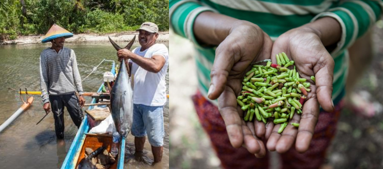
The years 2015 and 2016 are listed by the World Meteorological Organization as the hottest years in the last hundred years. Extreme weather events, floods and landslides are becoming more frequent. The risks of climate change and disasters are faced by all levels of society in Brantas water shed; but the communities that will most likely feel the impact are: farmers, fishermen, and the urban poor. The impacts of climate change can reduce development outcomes, threaten food security, and increase poverty. Most of the disasters that occur in Brantas water shed are related to climate and weather (hydrometeorological disaster).
Continue reading Vulnerability Assessment Downstream Brantas
Vulnerability Assessment Landscape Kendari & Konawe Selatan
The climate vulnerability and risk assessment (VA) in the landscape of Kendari City and South Konawe District was developed as a basis for the climate adaptation strategy and strengthening landscape resilience to climate risks and hydrometeorological hazards. This study can also be used as an input for further site selection to strengthen community resilience to climate change and
disaster.
Continue reading Vulnerability Assessment Landscape Kendari & Konawe Selatan


