
PT Geo Enviro Omega (GEO) works at the intersection of geoscience, information technology, and environmental management — building integrated systems for disaster risk, climate resilience, and catastrophe modelling.
Since its establishment in 2009, GEO has provided innovative, data-driven solutions that help governments, development partners, and the private sector understand, anticipate, and manage risks from natural disasters, climate change, and sustainability challenges. Our multidisciplinary team spans earth sciences, software engineering, data analytics, and spatial modelling — transforming complex scientific data into intelligence for policy and operations.
From the Greek gê — "earth". The root of our science.
Understanding the environment to make the world a better place.
The last letter — innovation and completeness are the key.
From consulting and software engineering to AI-driven modelling — GEO combines domain science with technology to deliver solutions that are scientifically sound and operationally ready.
Strategic consulting in disaster management, risk profiling, and climate resilience — needs assessment, policy review, system architecture, and capacity development for institutions like BNPB, BMKG, BAPPENAS, World Bank, GIZ and USAID.
Advanced, integrated platforms combining spatial intelligence, data analytics and decision support — from the national MHEWS and EOC/Pusdalops systems to the Ministry of Finance's catastrophe & disaster risk financing dashboards.
Multi-hazard models integrating science, data and machine learning — OpenQuake earthquake risk, hydrodynamic & catastrophe models, and AI-based tsunami and flood inundation prediction for loss estimation and reinsurance frameworks.
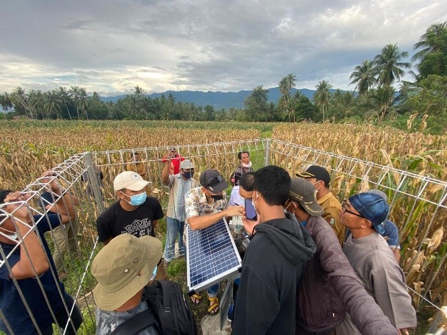
Sensor-based, connected systems for environmental and disaster monitoring — community flood early warning with radar and rain-gauge integration, marine weather displays for fishing communities, and smart data acquisition.
ML-based hazard modelling and knowledge management — rapid, high-resolution tsunami and flood-depth prediction, plus NLP and knowledge graphs for disaster knowledge management systems that learn from data and past events.
Advancing risk analytics and catastrophe modelling — AAL and PML estimation, risk transfer and Cat modelling for earthquakes, tsunamis and floods, with institutions like BNPB, BMKG and the Ministry of Finance under the World Bank's GRiF program.
An interactive map of selected GEO deployments — from national systems in Jakarta to community-based early warning in Sulawesi. Click a marker to explore each project.
Selected projects shown. GEO has delivered systems reaching 12+ provinces across Indonesia, from Maluku to Sumatra.
National-scale platforms, early warning systems, and geospatial infrastructure — including our latest 2025 engagements in disaster risk financing and emergency operations.
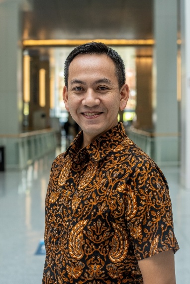
Co-founder of GEO in 2009 and a disaster management & climate risk professional with 15+ years bridging geospatial technology, data integration and risk analytics. Former CEO of PT Inteligensi Risiko; consultant to the World Bank, USAID and the AHA Centre, with expertise in flood & earthquake modelling and climate vulnerability mapping.

Joined GEO in 2014, leading the design of integrated disaster information systems for real-time early warning and spatial data management. Architect of SIMAMPU (EOC system), MHEWS and flood EWS dashboards. Expertise in Python, Django, GeoServer, PostGIS and MQTT-based IoT architectures.
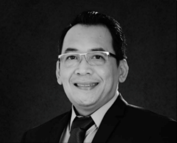
Joined GEO in early 2025 with two decades in enterprise digital transformation and technology leadership across banking, telecom and industry. Former CEO of Solvera Indonesia. PMP, SAP and TIBCO certified, with academic backgrounds in Computer Science and Economics.










Whether you're planning a disaster information system, an early warning deployment, or a risk financing dashboard — our team is ready to help.